Official notice/Weather & Emergencies
NWS: Record Highs Possible Through Friday, Strong Cold Front for Weekend
The National Weather Service's Oct. 14 briefing for Northeast South Carolina and Southeast North Carolina says record highs are possible through Friday, Oct. 16, followed by a strong cold front for the weekend.
NWS: Record Highs Possible Through Friday, Strong Cold Front for WeekendPart of a story we are following · 2 articles · See every update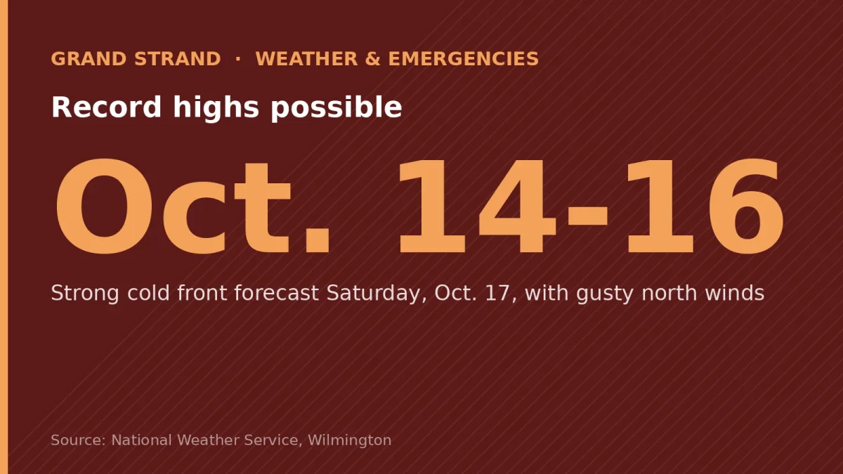
Issued 7:46 a.m. Wednesday, Oct. 14, 2026, by the National Weather Service (NWS) Wilmington, N.C., for Northeast South Carolina and Southeast North Carolina. As of that briefing, there were no active weather alerts for the region.
Key messages
- High pressure will prevail this week, bringing mainly sunny skies and above-normal temperatures. Record highs are possible Wednesday through Friday.
- A strong cold front will bring temperatures well below normal for the upcoming weekend, with continued dry weather. Gusty north winds are expected on Saturday.
Forecast highs and lows for the region (not by county)
| Day | Highs | Lows |
|---|---|---|
| Wednesday, Oct. 14 | 84°–91° | 57°–66° |
| Thursday, Oct. 15 | 84°–90° | 61°–66° |
| Friday, Oct. 16 | 82°–88° | 54°–59° |
| Saturday, Oct. 17 | 65°–68° | 44°–51° |
| Sunday, Oct. 18 | 65°–68° | 46°–56° |