NWS warns of gale winds, high surf and rip currents from nor’easter
The National Weather Service in Wilmington says a nor'easter will likely linger off the East Coast this week, with the main impacts on coastal beaches and waters.
Grand Strand weather updatesPart of a story we are following · 3 articles · See every update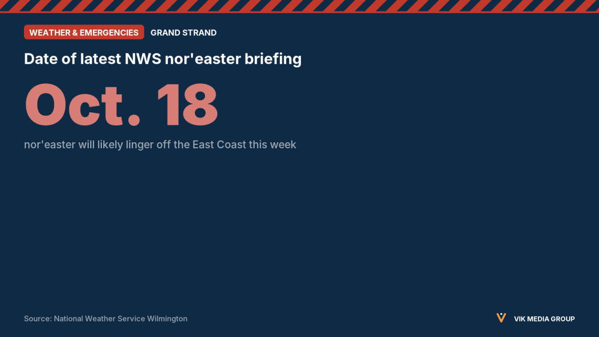
As of 8:32 a.m. Oct. 18, 2026
The National Weather Service in Wilmington, N.C., said in its Decision Support Briefing #4 that a nor’easter off the East Coast is likely to linger nearby this week before moving away late in the week. The agency said there are no major changes to the forecast, and that impacts are now mainly for coastal areas, beaches and the waters.
The briefing lists these hazards:
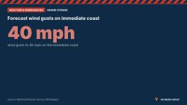
- Gale Warning for wind gusts of 34 to 45 knots over Atlantic waters out to 60 nautical miles, improving from south to north late Sunday night through Monday.
- High Surf Advisory for breaking waves of 6 feet or more possible Sunday night into early Tuesday, mainly on east-facing beaches, especially in New Hanover County.
- Elevated rip current risk Sunday through midweek, mainly north of Cape Fear.
- Minor coastal flooding possible during afternoon high tides starting as early as Monday, especially north of Cape Fear.
The briefing covers southeast North Carolina and northeast South Carolina and does not name Horry or Georgetown counties. It says the severity and timing of impacts depend on the strength and track of the nor’easter. The next briefing is due by 6 p.m. EDT Sunday.