Official notice/Weather & Emergencies
NWS Wilmington: nor’easter likely to linger into mid next week; gusts to 40 mph
The National Weather Service in Wilmington says a developing nor'easter off the Carolina coast could affect northeast South Carolina through mid next week.
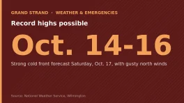
NWS: Record Highs Possible Through Friday, Strong Cold Front for WeekendPart of a story we are following · 2 articles · See every update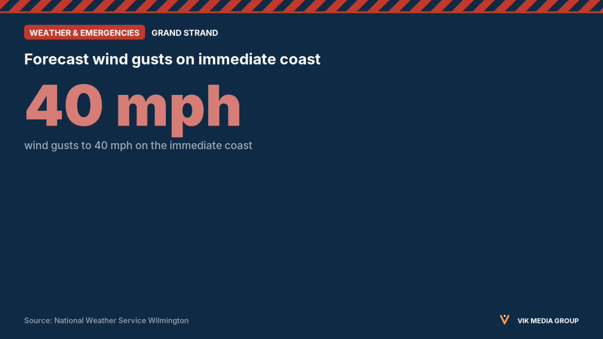
As of 4:53 p.m. on Saturday, Oct. 17, 2026, the National Weather Service (NWS) in Wilmington, N.C., says a developing nor’easter off the Carolina coast is likely to linger into mid next week. Its briefing covers southeast North Carolina and northeast South Carolina and does not separate out Horry or Georgetown counties.
The briefing lists these possible impacts:
- Wind gusts to 40 mph on the immediate coast, mainly north of Cape Fear, through Sunday evening.
- Gale Warning for Atlantic waters out to 60 nautical miles, into Monday.
- High Surf Advisory possible for 6-foot-plus breaking waves, Sunday night into early Tuesday, mainly on east-facing beaches.
- Elevated rip current risk Sunday through midweek, mainly north of Cape Fear.
- Minor coastal flooding possible during afternoon high tides.
Do not use this briefing after the next one, due Sunday, Oct. 18, before 11 a.m. EDT.